Hatcher Pass
Above 3,500ft None
2,500 to 3,500ft None
Below 2,500ftNone
Degrees of Avalanche Danger
Avalanche Activity
Above: Wet loose avalanches, Tuesday March 19. Microdot, 4500′, SW aspect.

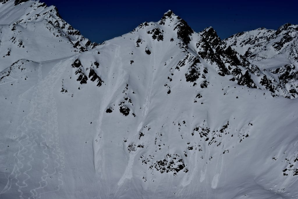
Above: Large cornice-fall triggered avalanche occurred March 17. Rae Wallace Chutes, 4500′, N aspect.
Above: Closer view of the crown of avalanche shown above.
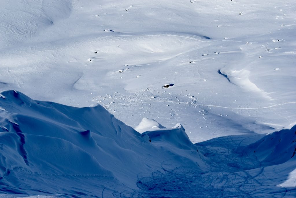
Above: Looking down Rae Wallace Chutes towards debris pile of cornice-fall triggered avalanche from March 17th.

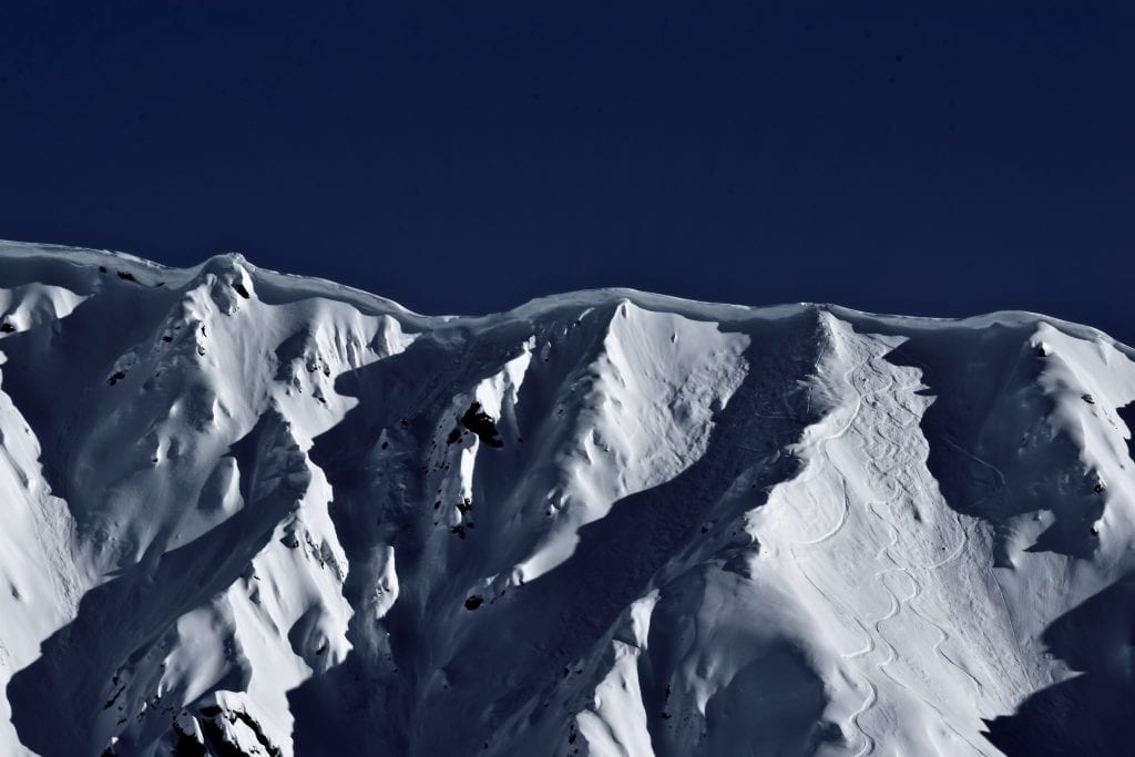
Above: Wet loose avalanches on north aspect of Hatch Peak ridgeline observed Wednesday March 20. 4000′.
Weather
Weather History
Weather at 3450′ since Saturday 3/16:
Temperatures averaged 31°F, with a low of 19°F and a high of 42°F.
Winds averaged S 3 mph, max 13 mph. Max gusts recorded were S 39 mph .
There has been 4″ new snow recorded at Independence Mine since 3/16.
Weather at 4500′ since Saturday 3/16:
Temperatures averaged 26°F, with a low of 14°F and a high of 35°F.
Winds averaged SE-ESE 13 mph, max 30 mph. Gusts averaged SE-ESE 23 mph, max gust 57 mph.
Forecast Weather
Stay tuned to the NOAA point forecast for an updated weather forecast each day. The best way to see if it’s snowing in Hatcher Pass is to look at the webcam snow stake HERE and the Independence Mine SNOTEL site HERE
State Parks Snow Report and Motorized Access information can be found here.
Alerts
Get the full summary HERE.
Announcements
This information is a Conditions Update. Danger ratings are only issued with avalanches advisories. The next avalanche advisory is scheduled for Saturday March 23, 2019.
Previous avalanche advisories HERE
MIDWEEK SNOW AND AVALANCHE CONDITIONS SUMMARY FOR MARCH 21, 2019
Human-triggered wet loose avalanches will be likely and natural avalanches will be possible on all aspects and at all elevations. Wet loose avalanches will be larger on solar aspects. Human-triggered wind slab avalanches will be possible and natural wind slab avalanches will be unlikely, at upper elevations, on W to N aspects. It may be possible, but is generally unlikely, to trigger an avalanche on deeper persistent weak layers.
Happy spring equinox everyone! Unseasonably warm temperatures have reached summit elevations in Hatcher Pass since early Wednesday morning, and as we turn the corner into spring, it’s time to start paying more attention to warming. Rollerballs and especially sinking in deeply in your skis or snow machine are signs that the hazard for wet avalanche activity is increasing. Even small wet loose avalanches can have high consequences if you end up in a terrain trap.
Hatcher Pass received 4″ new snow (0.4” SWE) overnight Monday. The 4″ of snow fell during light winds, but the skiing and riding quality was immediately impacted by warming from the sun on Tuesday and above-freezing temperatures since Wednesday. Snow has since been redistributed across Hatcher Pass due to E to ESE moderate winds gusting to strong and extreme yesterday.
This report is a mid-week conditions update, so please be sure to check hpavalanche.org for advisories on Saturdays and follow the HPAC Facebook for updates. Help us keep tabs on the Hatcher Pass area! If you see any avalanche activity send us an observation HERE. Thank you to everyone who has already submitted observations this season – you can see those HERE!