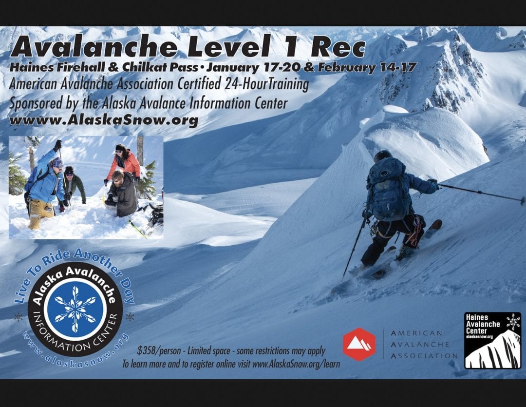
Haines Avalanche Center
Above 2,500ftModerate
1,500 to 2,500ftLow
Below 1,500ftLow
Degrees of Avalanche Danger
Avalanche Problems
Problem 1

Likelihood:
- Almost Certain
- Very Likely
- Likely
- Possible
- Unlikely
Size:
- Historic
- Very Large
- Large
- Small
Trend
- Increasing
- Steady
- Decreasing
Problem 2

Likelihood:
- Almost Certain
- Very Likely
- Likely
- Possible
- Unlikely
Size:
- Historic
- Very Large
- Large
- Small
Trend
- Increasing
- Steady
- Decreasing
Weather
Light snow on Monday will taper off by evening. Around 3″ fell in the Lutak zone. Tuesday should feature some clearing and a break in the weather before a major pattern change. Wednesday-on we will have increasing south winds, rapidly warming temperatures, and rising snow levels with periods of heavy precipitation. It’s hard to pin down the details but 1-2″ of precipitation is likely by Friday, with snow levels peaking around 3000ft.
| Snow Depth [in] | Last 24-hr Snow/SWE [in] | Last 3-days Snow/SWE [in] | Today’s Freezing Level [ft] | Today’s Winds | Next 24-hr Snow/SWE | |
Mount Ripinsky @ treeline |
43″ | 3″ / 0.15 | 3″ / 0.15 | 0 | mod, N | 0″ / 0.00 * |
Flower Mountain @ treeline |
40″ | 1″ / 0.05 | 1″ / 0.05 | 0 | mod, NW | 0″ / 0.00 * |
Chilkat Pass @ 3,100ft |
28″ | 1″ / 0.05 | 1″ / 0.05 | 0 | lmod, NW | 0″ / 0.00 * |
( *star means meteorological estimate )
Additional Information
If you get out riding, please send in an observation!
Do a rescue practice with your partners. Always carry a beacon, shovel, and probe, and KNOW HOW TO USE THEM.
Practice good risk management, which means only expose one person at a time to slopes 30 degrees and steeper, make group communication and unanimous decision making a priority, and choose your terrain wisely: eliminating unnecessary exposure and planning out your safe zones and escape routes.