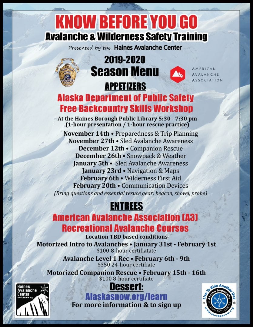
Haines Avalanche Center
Above 2,500ftNone
1,500 to 2,500ftNone
Below 1,500ftNone
Degrees of Avalanche Danger
Avalanche Problems
Problem 1

Likelihood:
- Almost Certain
- Very Likely
- Likely
- Possible
- Unlikely
Size:
- Historic
- Very Large
- Large
- Small
Trend
- Increasing
- Steady
- Decreasing
Problem 2

Likelihood:
- Almost Certain
- Very Likely
- Likely
- Possible
- Unlikely
Size:
- Historic
- Very Large
- Large
- Small
Trend
- Increasing
- Steady
- Decreasing
Avalanche Activity
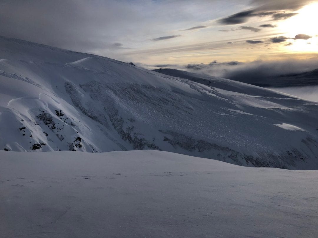
Observations in the Pass have been thin due to weeks of bad weather.
Photo: Large natural slide near Chuck Creek/Dick Creek submitted to HAC in early January.
Three people were buried by a slide near the Chuck Creek trailhead on Dec. 30th, with 1 survivor. More information available on our Accidents page.
Please report any observed avalanche activity on our observations page.
Weather
South of the Pass, there was a massive 8-10ft snow dump between January 19th-Feb 5th (Sadly this plentiful snowfall didn’t make it up to the higher elevations in the Pass itself, which had strong north winds strip away most of the new snow.) Since then, warm weather brought light-moderate rain/snow mix up to 1,500ft from Feb. 6th-13th.
From the 14th-16th, temperatures dropped into the teens and a few inches of new snow fell on top of the re-frozen snowpack.
Over the last 4 days, around 1″ of new SWE has fallen over the area. Snow levels started out near 1500ft Tuesday/Wednesday, and dropped to sea level Thursday. This resulted in about a foot of fresh snow above 1000ft.
Weather Forecast for Friday: Occasional snow showers, 0-3″ of snow accumulation.
Weather Forecast for Saturday : Mostly cloudy with occasional snow showers. 0-2″ accumulation. Moderate SE winds decreasing in the afternoon. Alpine temperatures near 25F.
| Snow Depth [in] | Last 24-hr Snow/SWE [in] | Last 3-days Snow/SWE [in] | Today’s Freezing Level [ft] | Today’s Winds | Next 24-hr Snow/SWE | |
Mount Ripinsky @ treeline |
120+” | 14″ / 1.20* | 22″ / 1.90 * | 0 | Mod, SE | 2″ / 0.15 * |
Flower Mountain @ treeline |
72″ | 6″ / 0.50 | 10″ / 1.00 | 0 | Mod, SE | 1″ / 0.10 * |
Chilkat Pass @ 3,100ft |
29″ | 6″ / 0.40 | 8″ / 0.70 | 0 | Mod, SE | 0″ / 0.00 * |
( *star means meteorological estimate )
Additional Information
Do a beacon check with your partners at the trailhead to ensure everyone is beeping and familiar with their equipment. Do a rescue practice / beacon practice at home. ALWAYS wear a beacon, shovel, and probe, and KNOW HOW TO USE THEM!

Announcements
Due to limited funding this season, we will be issuing occasional advisories dependent on conditions. Click the -Full Forecast- button below for more details. Please keep submitting your observations to keep everyone up-to-date on current conditions.