Cordova
Above 2,000ftHigh
1,000 to 2,000ftConsiderable
Below 1,000ftModerate
Degrees of Avalanche Danger
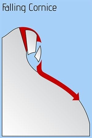
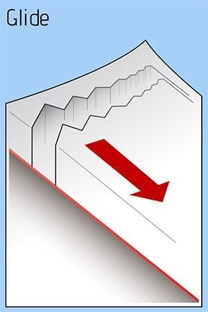
Avalanche Problems
Problem 1

Likelihood:
- Almost Certain
- Very Likely
- Likely
- Possible
- Unlikely
Size:
- Historic
- Very Large
- Large
- Small
Trend
- Increasing
- Steady
- Decreasing
Problem 2

Likelihood:
- Almost Certain
- Very Likely
- Likely
- Possible
- Unlikely
Size:
- Historic
- Very Large
- Large
- Small
Trend
- Increasing
- Steady
- Decreasing
Problem 3
Likelihood:
- Almost Certain
- Very Likely
- Likely
- Possible
- Unlikely
Size:
- Historic
- Very Large
- Large
- Small
Trend
- Increasing
- Steady
- Decreasing
Problem 4
Likelihood:
- Almost Certain
- Very Likely
- Likely
- Possible
- Unlikely
Size:
- Historic
- Very Large
- Large
- Small
Trend
- Increasing
- Steady
- Decreasing
Avalanche Activity
The highway avalanche hazard is CONSIDERABLE.
The avalanche hazard will remain elevated through Tuesday.
Weather
We received 3 inches of water Friday and Saturday, with the freezing line above our local peaks. Observations have been obscured, though avalanche activity probably occurred. Precipitation took a quick break Sunday morning, but the next storm is already upon us.
Expect another 3 inches of water tonight into Tuesday. The snow line, however, looks to be lower, fluctuating between sea level and 2000 feet. This could translate into 10 inches at sea level and 30 inches in the upper mountains. Moderate to strong wind will load western aspects. The avalanche hazard will probably remain elevated through Tuesday.