Cordova
Above 2,000ftConsiderable
1,000 to 2,000ftModerate
Below 1,000ftLow
Degrees of Avalanche Danger
Avalanche Problems
Problem 1
Likelihood:
- Almost Certain
- Very Likely
- Likely
- Possible
- Unlikely
Size:
- Historic
- Very Large
- Large
- Small
Trend
- Increasing
- Steady
- Decreasing
Avalanche Activity
The highway avalanche hazard is LOW.
The avalanche hazard should remain the same through the weekend.
Weather
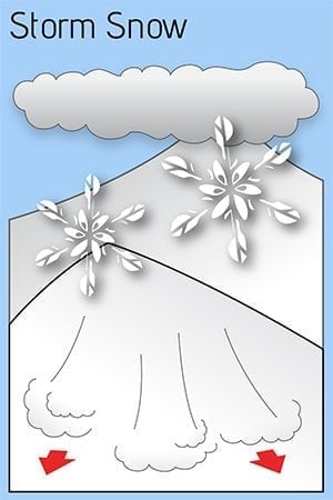
Happy New Year everyone. As far as snowpack, things have been busy yet subtle. Significant snow sits at sea level while a relatively shallow snowpack is in the upper mountains. Winds have smoothed in micro features, though not enough snow exists to fill in the bigger stuff. Warm temperatures followed by light rain early this week left a crust to 2000 feet. Friday brought 10 inches of snow to sea level with light east wind. Bonding of this new snow should be suspect. Avalanche observations have been limited.
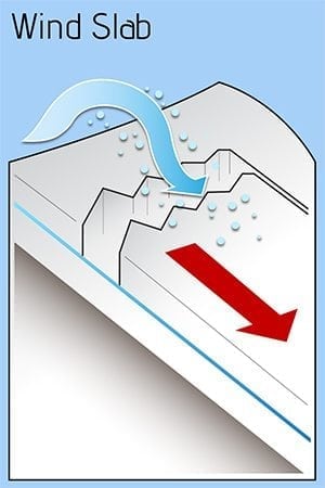
Expect rapidly cooling temperatures and increasing northerly outflow wind through the weekend into next week. The highway will probably not see any avalanche activity. Backcountry users should be wary of changing wind loads above tree line.

