Hatcher Pass
Above 3,500ft Moderate
2,500 to 3,500ft Moderate
Below 2,500ftLow
Degrees of Avalanche Danger
Avalanche Activity
No new avalanche activity since Wednesday as noted in the Mid-Week report listed below:
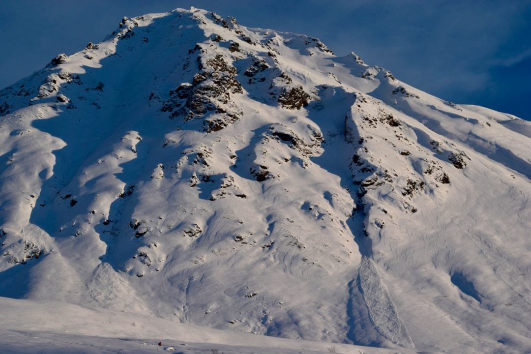
Natural avalanches were reported Monday-Wednesday on Lower Microdot (NW aspect), Marmot SW aspect, Hatch Peak NE aspect, and Martin Mine Gully NE aspect. See photographs below.
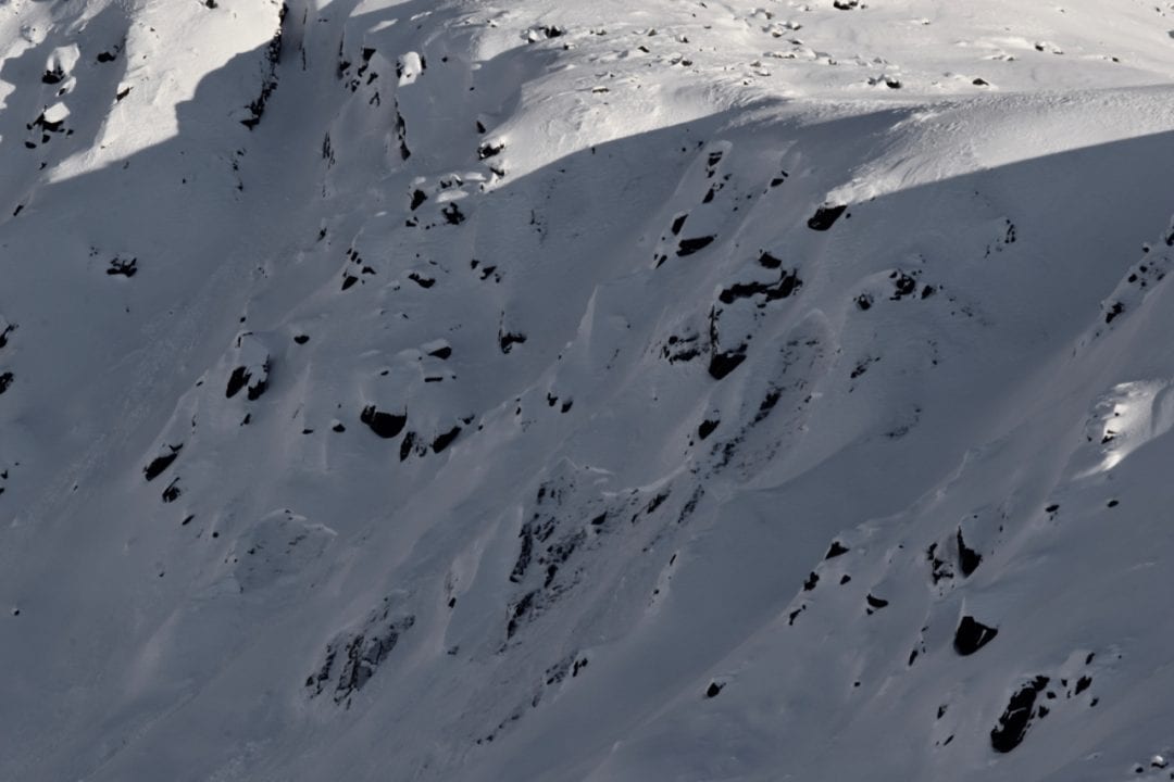
Above: Natural avalanches on Lower Microdot NW aspect on Wednesday 12/19
Above: Natural avalanches observed on Marmot W to SW aspects on Wednesday 12/19
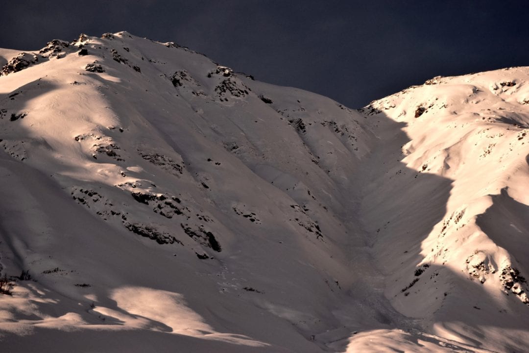
Widely propagating natural avalanche on NE aspect of Martin Mine Gully on Monday 12/17
Weather
This week’s weather at 3550′:
Temps averaged 18ºF, with a low of 8ºF and a high of 29ºF.
IM reported no new snow.
Overnight at 3550′:
Temps averaged 24°F.
No new snow.
This week’s weather at 4500′:
Temps averaged 16ºF, with a low of 8ºF and a high of 24ºF.
Winds averaged E 7 mph, max 20 mph . Gusts averaged E 12 mph, max gust SE 32 mph.
Overnight at 4500′:
Temps averaged 21ºF overnight, with a Low of 18ºF.
Winds averaged E 17 mph overnight. Max gust E 15 mph.
NWS Rec Forecast HERE
State Parks Snow Report and Motorized Access information HERE
Additional Information
AVALANCHE HAZARD TREND
NWS is forecasting cool temps, no new snow and light winds today and overnight. This kind of mediocre Alaska weather will not increase the avalanche hazard today.
Instability will increase with any new, rapid load, such as precipitation and/or wind loading. Keep a close eye on the weather, as our current snowpack only needs a little extra load to increase the avalanche hazard again.
Alerts
Moderate avalanche hazard does NOT equal safe conditions everywhere. Deciphering the avalanche puzzle will be complex, with large, human triggered avalanches possible on a multitude of weak layers in the snowpack. Help us give the gift of NO avalanches for Christmas! If you choose to enter avalanche terrain, choose terrain lacking terrain traps.