Cordova
Above 2,000ftConsiderable
1,000 to 2,000ftConsiderable
Below 1,000ftConsiderable
Degrees of Avalanche Danger
Avalanche Problems
Problem 1
Likelihood:
- Almost Certain
- Very Likely
- Likely
- Possible
- Unlikely
Size:
- Historic
- Very Large
- Large
- Small
Trend
- Increasing
- Steady
- Decreasing
Weather
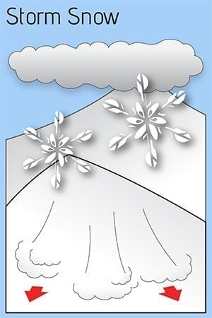
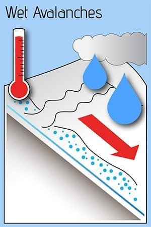
We received 4 to 5 feet of mostly dry light snow last week at all elevations. Moderate to strong east wind loaded western aspects. Several natural slab avalanches occurred throughout this storm cycle. Dry conditions last weekend allowed the snowpack to adjust, while north wind sculpted slopes above tree line. Temperatures increased Monday bringing the freezing line above 1500 feet. Light precipitation fell.
Precipitation slowly increased Tuesday, with the freezing line fluctuating just above sea level. An avalanche occurred today above 5.5 mile CRH. Debris did not reach the highway, though a powder blast crossed the road. While this event removed much of the hazard, some snow in the upper start zones remains and the path has been partially paved. Precipitation should continue. The highway is still open, though avoid the 5 to 6 mile area if you can. Backcountry users should use increasing caution.

