Cordova
Above 2,000ftConsiderable
1,000 to 2,000ftModerate
Below 1,000ftLow
Degrees of Avalanche Danger
Avalanche Problems
Problem 1
Likelihood:
- Almost Certain
- Very Likely
- Likely
- Possible
- Unlikely
Size:
- Historic
- Very Large
- Large
- Small
Trend
- Increasing
- Steady
- Decreasing
Weather
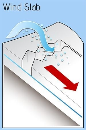
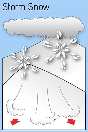
At the end of December, heavy precipitation fell on a shallow snow pack with the freezing line above our local peaks. Early in the New Year temperatures abruptly dropped, bringing near a foot of dry light snow to sea level. Initially, easterly winds created small isolated wind slabs above tree line. Northerly winds then moved available snow southerly. With low humidity much of this snow sublimated back into the atmosphere, though some wind loading occurred on southern slopes at tree line and above. Over 2 weeks of dry cold weather and a shallow snow pack has promoted a sugary facet snow pack with little to no base, as well as significant surface hoar layer. Sunday morning brought 4 to 6 inches of denser snow with little wind. By evening, the freezing line climbed to 1500 feet, creating a reactive upside down snow pack.
Expect more precipitation Monday tapering though the rest of the week. Models suggest another inch of water Monday into Tuesday. The freezing line looks to fluctuate from sea level to mid mountain and then decrease after Tuesday. Some avalanche activity may occur, but shouldn’t affect the highway. Backcountry users should be wary of exposure and consequences above tree line.

