Cordova
Above 2,000ftConsiderable
1,000 to 2,000ftModerate
Below 1,000ftLow
Degrees of Avalanche Danger
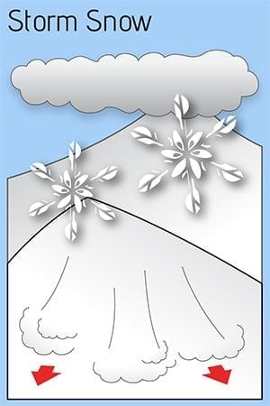
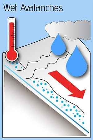
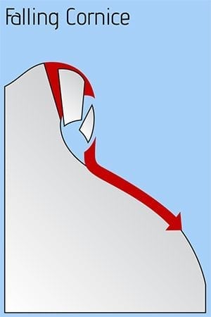
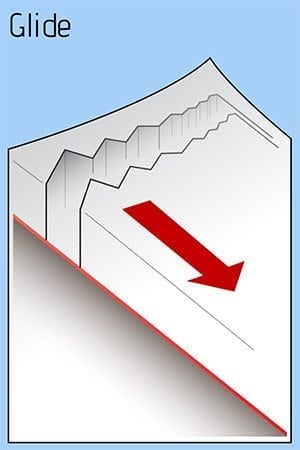
Avalanche Problems
Problem 1
Likelihood:
- Almost Certain
- Very Likely
- Likely
- Possible
- Unlikely
Size:
- Historic
- Very Large
- Large
- Small
Trend
- Increasing
- Steady
- Decreasing
Problem 2
Likelihood:
- Almost Certain
- Very Likely
- Likely
- Possible
- Unlikely
Size:
- Historic
- Very Large
- Large
- Small
Trend
- Increasing
- Steady
- Decreasing
Problem 3
Likelihood:
- Almost Certain
- Very Likely
- Likely
- Possible
- Unlikely
Size:
- Historic
- Very Large
- Large
- Small
Trend
- Increasing
- Steady
- Decreasing
Weather
Last month, our snowpack was well tested with heavy rain. After that, no snow existed below 1000 feet, while 2 feet sat at 1500 feet and twice as much sat in the upper mountains. This morning brought ¾ inches of water and the freezing line just above sea level. This translated into a couple inches of wet snow at sea level and 8 inches of snow above 1000 feet. Light east winds loaded westerly aspects.
Expect snow, heavy at times, overnight. Moderate winds will load western aspects. The freezing line will climb during the day, as will the avalanche hazard. The same is expected Sunday. Weather models suggest 3 inches of water though the weekend. Avalanches are not expected to reach the highway at this time. Backcountry users should use increasing caution at tree line and above.


