Cordova
Above 2,000ftHigh
1,000 to 2,000ftHigh
Below 1,000ftConsiderable
Degrees of Avalanche Danger
Avalanche Activity
The highway avalanche hazard is CONSIDERABLE.
The avalanche hazard will remain elevated through Tuesday.
Weather
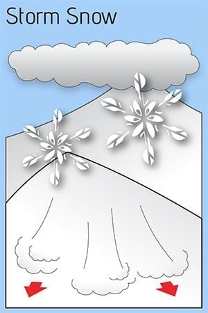
A large storm continues to bring heavy precipitation. A foot of dense snow has accumulated at sea level so far. Models suggest another 2-3 inches of water, which will translate into another 2-3 feet of snow in the upper mountains. Moderate wind will continue to load western aspects. The freezing line will climb to between 500 and 1000 feet Monday night and return back to sea level Tuesday. This means heavy rain at sea level Monday night. The avalanche hazard will remain elevated through Tuesday. We should get a brief break in precipitation Tuesday night, though another storm will move in Wednesday. Avalanche terrain should be avoided, including 5 mile of the highway. Also beware of roof slides.
