Haines Avalanche Center
Above 2,500ftHigh
1,500 to 2,500ftHigh
Below 1,500ftHigh
Degrees of Avalanche Danger
Avalanche Problems
Problem 1

Likelihood:
- Almost Certain
- Very Likely
- Likely
- Possible
- Unlikely
Size:
- Historic
- Very Large
- Large
- Small
Trend
- Increasing
- Steady
- Decreasing
Problem 2

Likelihood:
- Almost Certain
- Very Likely
- Likely
- Possible
- Unlikely
Size:
- Historic
- Very Large
- Large
- Small
Trend
- Increasing
- Steady
- Decreasing
Weather
Monday-Tuesday will feature two strong and wet storms bringing heavy accumulations and snow levels rising to near 3000ft. Total new precipitation amounts of 2-4" are likely by Wednesday (meaning 24-48" of new snow above 3000ft, 6-24" below that level). On Wednesday, snow levels will drop to sea level and light-moderate snow accumulations should continue.
| Snow Depth [in] | Last 24-hr Snow/SWE [in] | Last 3-days Snow/SWE [in] | Today's Freezing Level [ft] | Today's Winds | Next 24-hr Snow/SWE | |
Mount Ripinsky @ treeline |
45" | 3" / 0.20 | 3" / 0.20 | rising to 3000ft | strong, SE | 16" / 1.60 * |
Flower Mountain @ treeline |
70" | 1" / 0.10 | 1" / 0.10 | rising to 3000ft | strong, SE | 16" / 1.30 * |
Chilkat Pass @ 3,100ft |
33" | 1" / 0.10 | 1" / 0.10 | rising to 3000ft | strong, SE | 12" / 0.80 * |
( *star means meteorological estimate )
Additional Information
If you get out riding, please send in an observation!
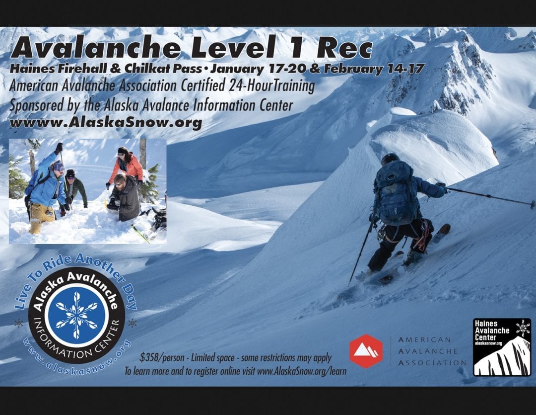
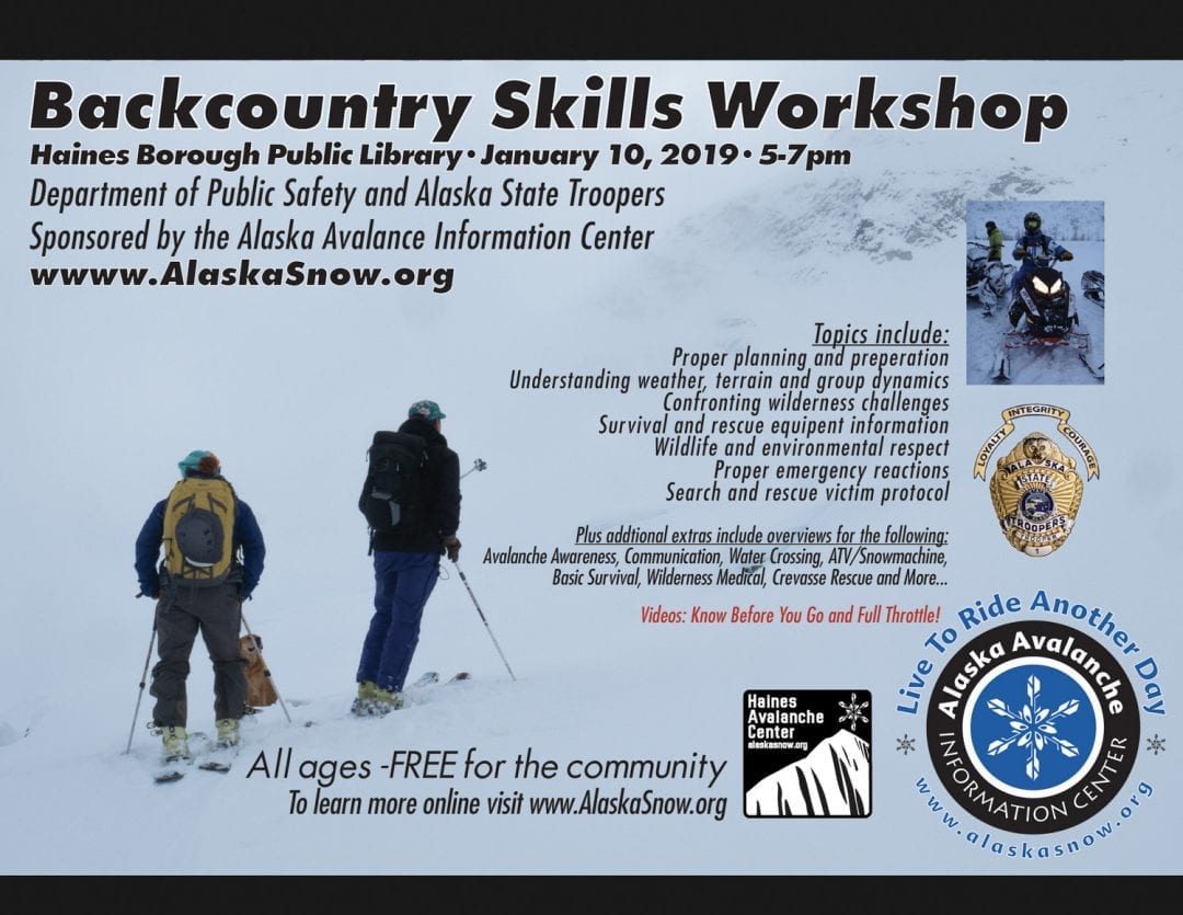
Do a rescue practice with your partners. Always carry a beacon, shovel, and probe, and KNOW HOW TO USE THEM. Come to our FREE backcountry skills workshop on January 10th (see flyer below).
Practice good risk management, which means only expose one person at a time to slopes 30 degrees and steeper, make group communication and unanimous decision making a priority, and choose your terrain wisely: eliminating unnecessary exposure and planning out your safe zones and escape routes.
Alerts
Two strong and very wet systems will hit the area (Early Monday, and again on Tuesday). Expect dangerous avalanche conditions with large natural avalanches likely. Avoid all avalanche terrain during this time, including lower runout zones in valley bottoms.